 If ever you are at a loss as to how to spend a few days in New Zealand, a road trip is a great way to enjoy the outdoors and see some of New Zealand’s spectacular scenery, as Peter Campbell reports.
Located on the edge of two continental plates, New Zealand has a dynamic geological history – clearly demonstrated by the 2010-11 earthquakes – with mountain ranges, glaciers, forests, plains, rivers and beaches, all of which offer stunning backdrops for nature lovers. The diversity and the close proximity of different natural environments makes New Zealand an ideal location for adventure sports and perhaps helps to explain why New Zealand has a reputation for producing world class mountaineers, sailors and endurance athletes.
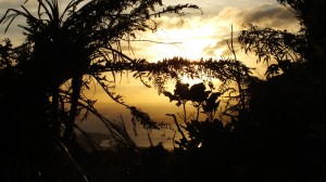
 On a recent trip down-under I wanted to escape the cities and crowds and re-experience what makes New Zealand different from many other places. I took a car from Auckland and went to explore the Coromandel Peninsula. This is a steep, hilly part of the North Island, only a couple of hours drive from Auckland, but is scarcely populated and on a road to nowhere, making it an attractive and easy getaway from big city life. The drive takes you onto State Highway 25 and along a winding coastal road. The driving is easy and makes for pleasant scenery. The trick to turning this into a stunning expedition is to leave in mid afternoon so that as the sun begins to set you get a view of the Hauraki Gulf and Waiheke Island being lit up with golden rays.
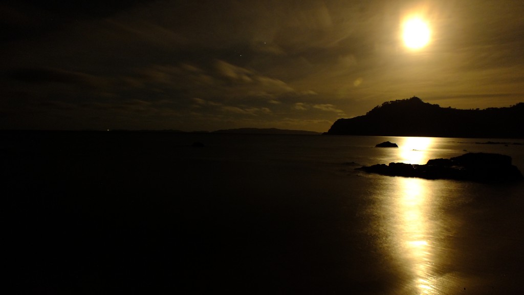
 Having watched the sunset from a the top of the saddle of a hill I headed down hill and found an attractive piece of coastline on the eastern side of the peninsula to watch the moon rise and to spend the night taking photographs. Ideally I would have moved on, but when it’s 2.30 in the morning and you’re feeling weary – it seemed best to go to sleep. New Zealand has a law about freedom camping, i.e. you’re not allowed to camp if it is not an official campsite, but it also has recommendations about not driving when you need to sleep, so I whipped out a sleeping bag and slept on the grass next to the car. It can’t be camping if there’s no tent, right?
The next day I weaved my way down past Whitianga to a small settlement and beach with the enticing name of Hot Water Beach. Here, there is a section of beach where hot water rises out into the sands and you can dig yourself a bath in the sand and chill out in the thermal waters. The weather was hot and the colder water of the normal beach was more enticing – especially as it had great waves for body surfing.
Clean but salty I was on the road again and heading down to the retirement village called Tauranga – a brief lunch was sufficient to convince me that I would not be retiring here – the wind made it practically impossible to use a camp burner. For the record, I do realise that most houses don’t rely on camp burners for cooking. After lunch it was down to Rotorua which is known for thermal pools, geysers and for smelling of rotten eggs. In the 19th century it was the site of a volcanic eruption and has New Zealand’s very own version of Pompeii with a Maori village that was destroyed and consequently preserved by the ash that smothered it. Rotorua is well worth a visit but it didn’t fit into my hectic timeline of photographing the more stunning sites of New Zealand so, taking a detour around the city I continued south towards Taupo.

Lake Taupo is the largest lake in New Zealand and the region is known for its tourism and outdoor pursuits
Taupo is the largest lake in New Zealand and is known for water sports, a marathon and an ironman competition. The lake was created by a massive volcanic eruption about 26,000 years ago and is the world’s largest eruption for the last 77,000 years. A more recent eruption is thought to have been observed by Roman and Chinese scholars in 186 A.D – although there is some doubt now as to whether Taupo did erupt at this time with ice-core samples from Antarctica and Greenland indicating an eruption in about 230 A.D. The volcano has a crater with a 15-20 kilometre diameter – which makes it one of the largest volcanoes in the world – on average it erupts every 900 years but hasn’t erupted for 1700.
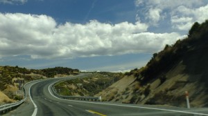 Heading (rather quickly) past Taupo I was anxious to make my way into the wild lands of the Desert Road. There is always something romantic about the name but it does seem somewhat misleading. In winter, it often snows on the Desert Road, in summer there seems to be plenty of precipitation. However, the Desert Road does go through some of emptiest land in the North Island and borders two large national parks and three significant volcanoes: Mt. Ngauruhoe in the north, Mt. Tongariro in the middle and Mt. Ruapehu in the south. While the land surrounding the Desert Road is covered in bush the slopes of the mountains are largely empty.
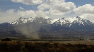 The road itself has a high altitude, much of it is higher than 600 metres and some of it is higher than 1000 m. It is perhaps partly due to the altitude that the region, known as the Rangipo Desert, is comparatively barren, but it is also thought that a series of volcanic eruptions about 20,000 years ago poisoned the soil and made it largely inhospitable. The region is known for some of New Zealand’s most dramatic walks, including the Tongirira Crossing and was used for filming Mordor in the Lord of the Rings. I was therefore keen to do some photography of area as I drove through but my intentions to spend the night taking photographs along the road were not followed through on.
By the time I left the Desert Road, night had already fallen over the landscape and leaving the land of volcanoes behind sped on to Wellington – New Zealand’s cute and comfy capital.
Be sure to like Intrepid Adventure on Facebook and check out Peter Campbell’s latest books on Amazon.com.
Copyright © Peter Campbell 2014, www.intrepid-adventure.com
